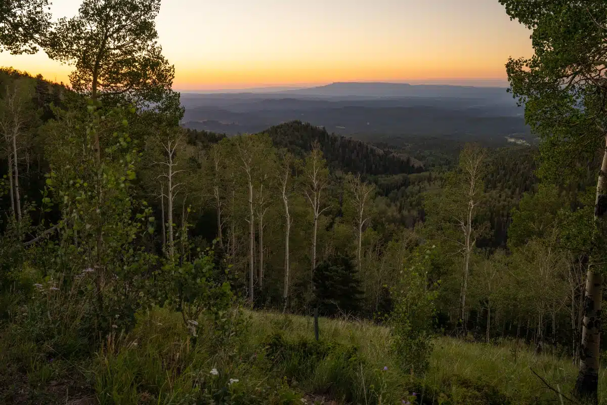
Spanish Peaks Country in Southern Colorado is a magical place unlike the rest of Colorado. While you may have traveled throughout the state, over passes, around mountains, across plains, and below mesas, there’s nothing quite like the fertile valley that sweeps across the lower half of Spanish Peaks Country or the unique geological features that dot the northern half. Short grasses and shrubs cover much of the region’s lowlands, with piñon, pine, oak, and juniper growing in the mountainous regions.
Huerfano County, named for the Spanish word for “orphan,” covers 1,750 square miles in south-central Colorado, east of the Sangre de Cristo Mountains and south of the Wet Mountain Valley. The southern part of Huerfano County is part of the Raton Basin, a geological formation that has produced large amounts of coal. Originally, Huerfano County stretched from the Kansas border to the Sangre de Cristos, but over time portions of the county were carved off to form several other counties.
Millions of years ago, magma created the famous Dakota Wall, a sandstone formation nicknamed the “Backbone of the Rockies,” which formed when fault lines were broken and turned upright.. These great sandstone walls stretch all along the Front Range of the Rockies and are visible in Spanish Peaks Country when traveling through the Cucharas River Valley, over La Veta Pass, and into northern Huerfano County. In many places along this journey, you can see where the ground was actually folded and broken by the pressures along the fault line.
In the distance mountains fill the view, most notably the Spanish Peaks and the Sangre de Cristos, making for a dramatic landscape in all directions.

