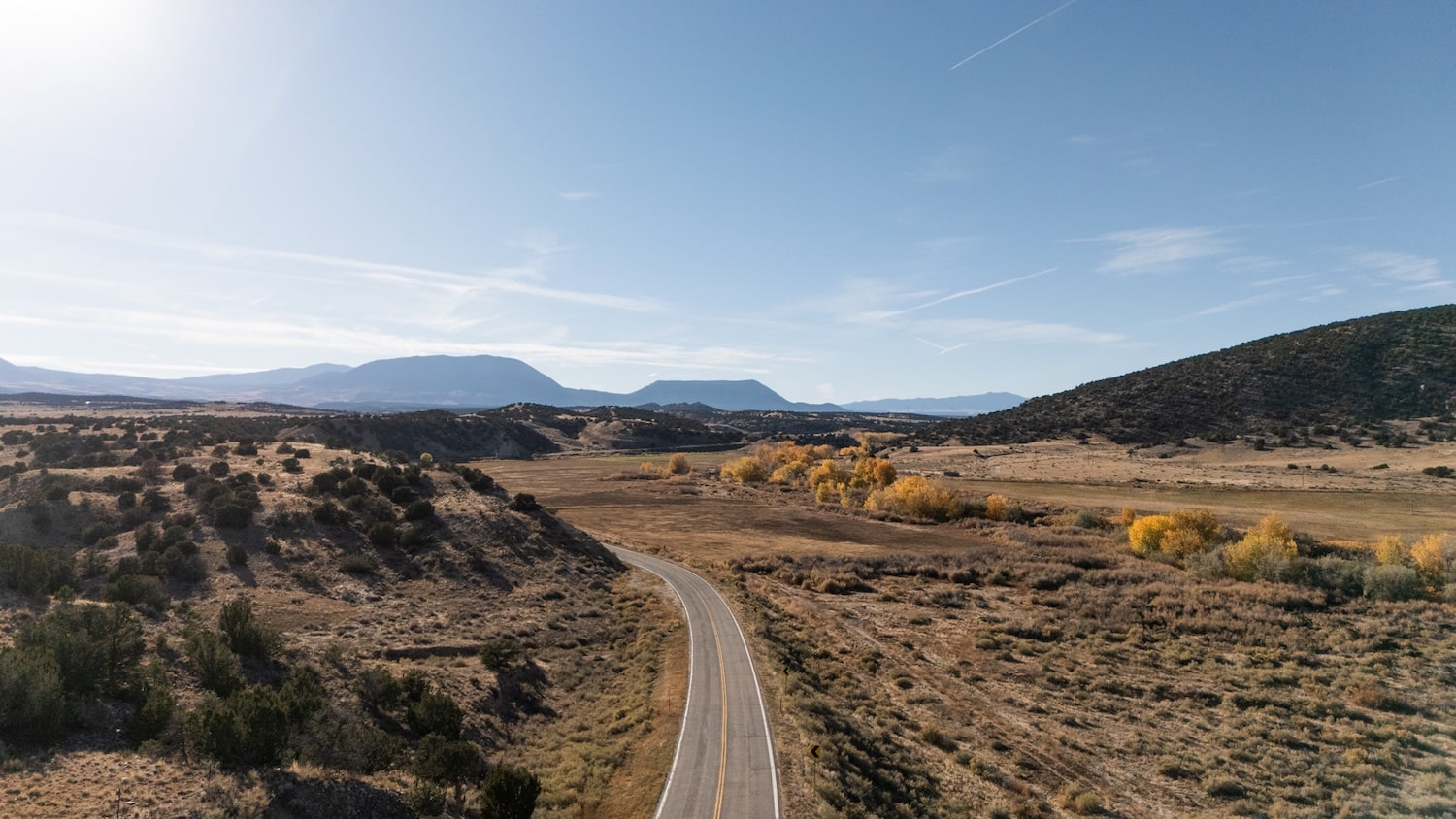
Geology and Mountains
Spanish Peaks Country is a geological paradise formed by ancient volcanic activity and erosion. Around 25 million years ago, molten rock from the Earth’s mantle flowed into lower fractures, cooling and congealing beneath the crust, originating what would become the skyscraping Spanish Peaks. It took millions of years of erosion to carve out their unmistakable shapes. Rich valleys juxtapose the picturesque mountains, offering seemingly endless opportunities for outdoor recreation and awe.

Blanca Peak
Colorado’s fourth-highest peak, Blanca Peak stands tall at 14,351 feet.
LEARN MORE
")
California Peak
California Peak rises to an impressive 13,855 feet.
LEARN MORE
-min")
Geologic Features of La Veta
La Veta exhibits geological formations formed by ancient volcanic activity, including the legendary Spanish Peaks.
LEARN MORE

Huerfano Butte
Huerfano Butte is a fascinating 300-foot high conical-shaped circular plug rising up from flatlands.
LEARN MORE
Mt. Lindsey
Mount Lindsey is a 14,042-foot mountain in the Sangre de Cristo Range.
LEARN MORE

Mt. Mestas
In the Sangre de Cristo Range, the majestic Mt. Mestas rises to 11,573 feet.
LEARN MORE

Sangre de Cristo Mountains
The Sangre de Cristo Mountain Range is one of the longest ranges on Earth.
LEARN MORE
Sheep and Little Sheep Mountains
Learn about these not-so-little “sheep.”
LEARN MORE

Silver Mountain
Silver Mountain rises just east of Mt. Mestas and is composed of the same granitic materials.
LEARN MORE
-min")
The Dakota Wall
A sandstone formation nicknamed the “Backbone of the Rockies” that formed when fault lines were broken and turned upright.
LEARN MORE
-min")
The Great Dikes
The Great Dikes are vertical granite dikes carved by ancient volcanic forces.
LEARN MORE

The Great Sand Dunes’ Geology Explained
Discover the geology of the Great Sand Dunes.
LEARN MORE

The Spanish Peaks
To the geologist, the Spanish Peaks are prime examples of stocks.
LEARN MORE
The Wet Mountains
The Wet Mountains are named for the amount of snow they receive each winter.
LEARN MORE

Trinchera Peak
Trinchera (“trench”) Peak is the northernmost thirteener in the Sangre de Cristos.
LEARN MORE
-min")
Volcanic Plugs, Buttes, and Cones in Spanish Peak Country
Huerfano County has been described as “a broken, tilted and eroded plateau bridging the mountains and the high plains.”
LEARN MORE
-2")
This breathtaking part of Colorado is truly a playground for both geology aficionados and nature lovers. By exploring the trails that crisscross through the volcanic-shaped landscape, visitors gain a glimpse into the tremendous forces that came together over millions of years to form the stunning sculpture known as Spanish Peaks Country.